Hiking in Fuerteventura: the Best Trails on the Volcanic Island
Hiking in Fuerteventura reveals a volcanic, arid side of the island, a world away from the beaches that made its name. Extinct craters, deep ravines and peaks battered by the trade winds: here are the trails not to miss, from the most accessible to the most demanding.
In a nutshell
- Calderón Hondo for an easy family walk, Pico de la Zarza for experienced hikers after the island's highest summit, and Vega de Río Palmas for a heritage hike through a ravine.
The best hiking trails in Fuerteventura
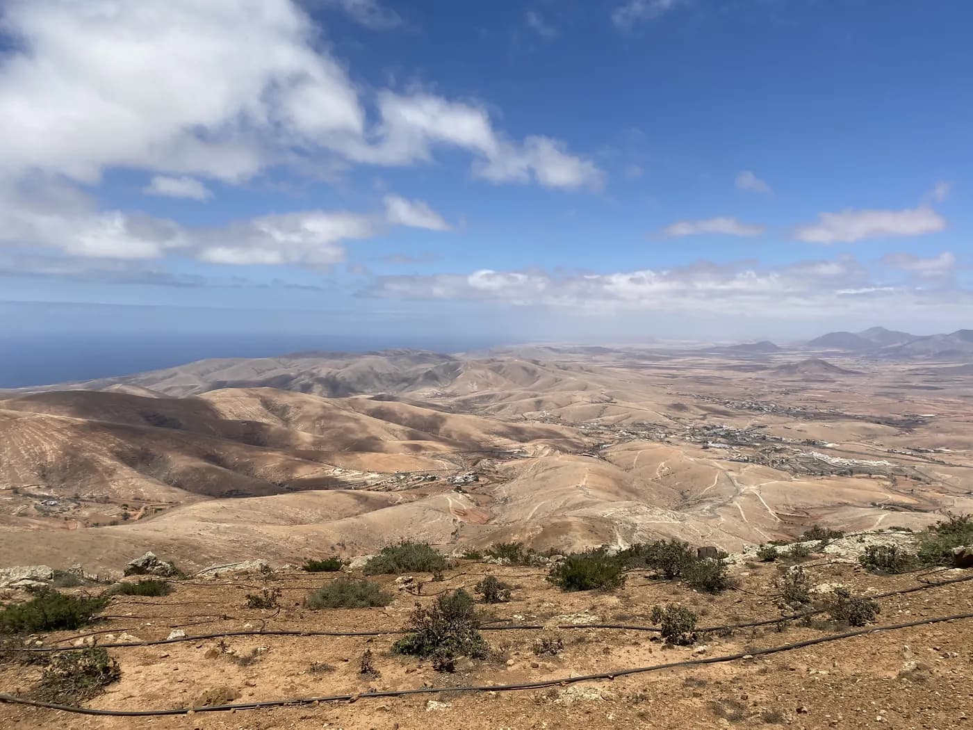
The island has around a dozen officially marked trails (the SL network for short hikes, PR for medium-length ones), mostly clustered around three areas: the volcanic north near Lajares, the historic centre around Betancuria, and the Jandía peninsula in the south.
Calderón Hondo: the easy hike near Lajares
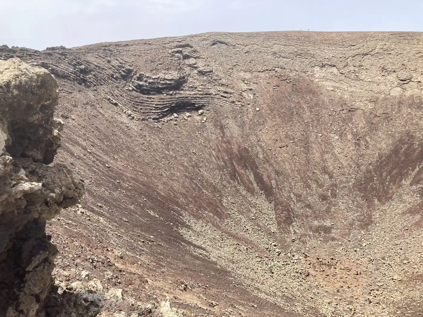
The Calderón Hondo hike, near Lajares, remains the most accessible way to discover this volcanic landscape as a family. This extinct crater, more than 50,000 years old, is reached via a well-marked loop of about 2.5km from the car park, taking around 1h15 in total. The trail leads to the crater rim, with an open view over the Lajares area and the north of the island.
Pico de la Zarza: climbing the island's highest peak
On the Jandía peninsula, climbing the island's highest peak rewards the most experienced hikers with a breathtaking view over Cofete. Allow about 5 hours of walking, with roughly 640m of ascent and 890m of descent depending on the route chosen. This demanding route suits hikers used to elevation gain and heat. It usually starts from Degollada de Agua Oliva, with a more technical final stretch along a windy ridge.
An alternative route, shorter but just as demanding, starts from the coast near Cofete and climbs directly to the summit: it cuts the total distance but concentrates the elevation gain on a steeper slope, best left to seasoned, well-equipped hikers.
Vega de Río Palmas and the Arco de las Peñitas: the heritage hike
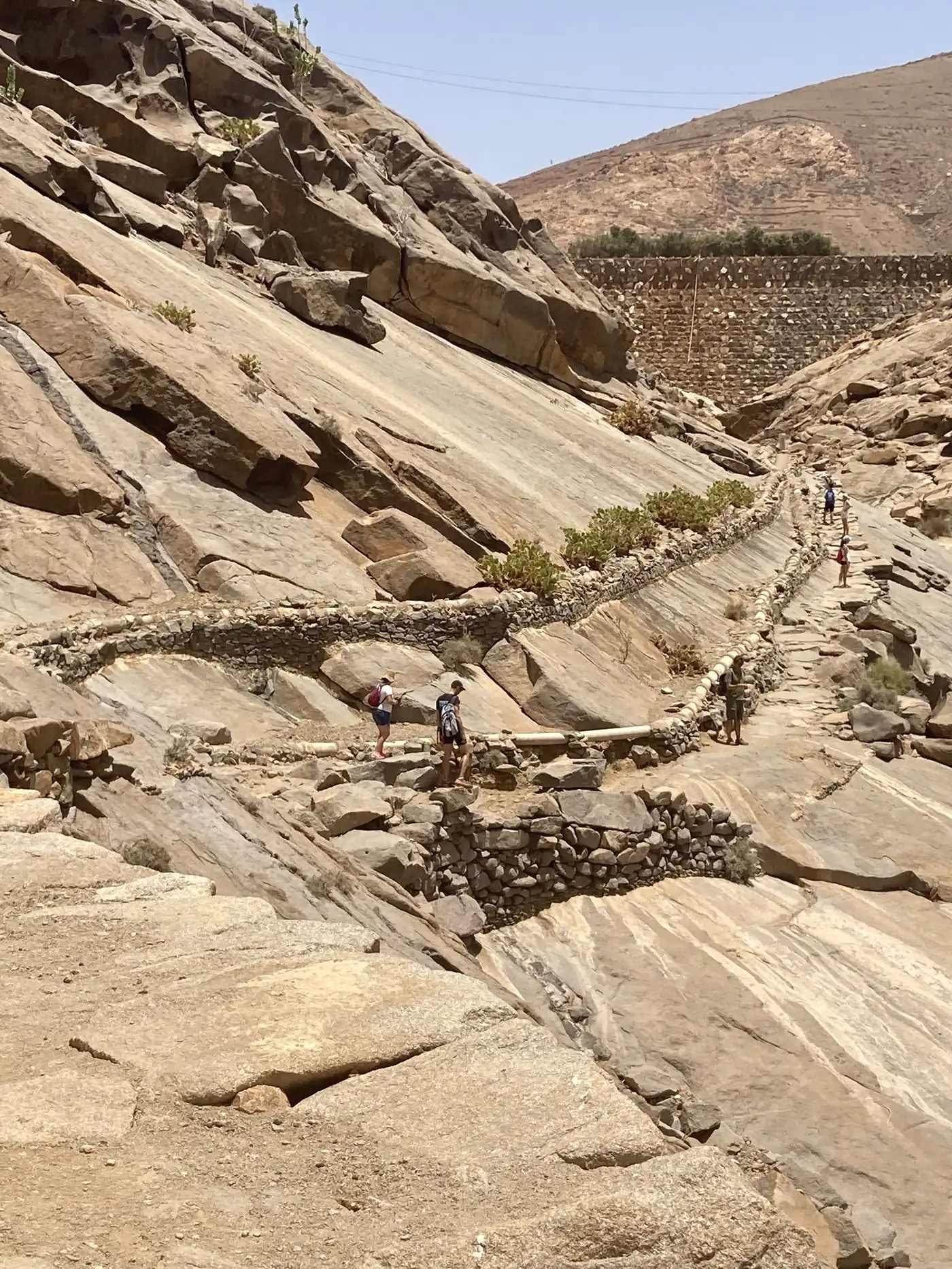
The marked SL FV 6 trail, starting from Vega de Río Palmas, crosses a deep ravine to the Arco de las Peñitas, passing the Ermita de la Peña. It's a linear hike, more atmospheric than sporty, crossing vegetation unusual for the island and running alongside the Barranco de Malpaso. Allow about 2.5 to 3 hours there and back, with no particular technical difficulty.
Hiking around Betancuria
The island's former capital and its surroundings, including the Morro Velosa viewpoint (designed by artist César Manrique), offer several short loops through arid mountain scenery. These routes often combine architectural heritage (the Santa María church, the village lanes) with views over the island's central massif.
From the Morro Velosa viewpoint, a short paved trail leads to a second, quieter viewpoint on the heights above the Betancuria valley. Allow about thirty minutes there and back, with no difficulty, making it an easy addition to a visit to the village.
Hiking with children: which trails to choose?
Not all of Fuerteventura's trails are equal with young children. Calderón Hondo remains the best compromise: short, well-marked, no significant elevation gain, with a clear visual goal (the crater) that keeps younger walkers motivated. The short loops around Betancuria also work well, provided you choose the shortest routes and plan breaks in the shade, which is scarce on the island.
By contrast, Pico de la Zarza and multi-hour hikes in full sun are best left to children already used to walking, with particular attention to hydration.
Gear and preparation
Practical tips: water, heat and waymarking
Fuerteventura's arid climate calls for a few precautions, even on the shortest routes.
Guided or independent hikes?
Several local providers offer supervised outings, notably towards Betancuria and Jandía, with a guide who explains the island's volcanic geology and history. This option particularly suits walkers less used to navigating independently.
Going it alone, the main trails (Calderón Hondo, Vega de Río Palmas) are well enough marked to skip a guide, provided you've downloaded a GPS track beforehand. Pico de la Zarza, on the other hand, calls for more experience hiking on arid terrain.
Wildlife and flora on the trails
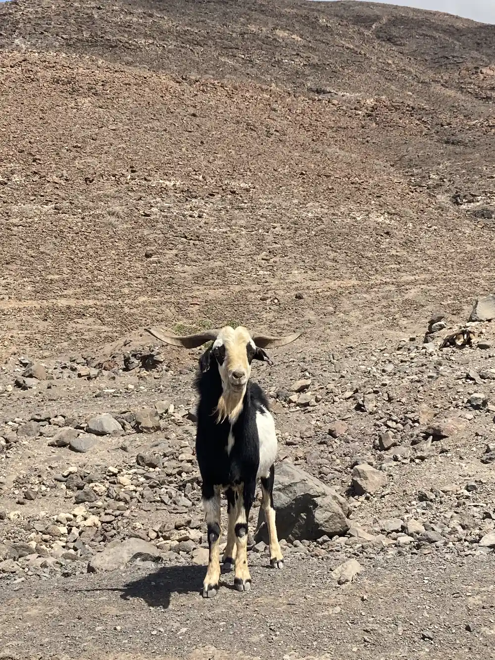
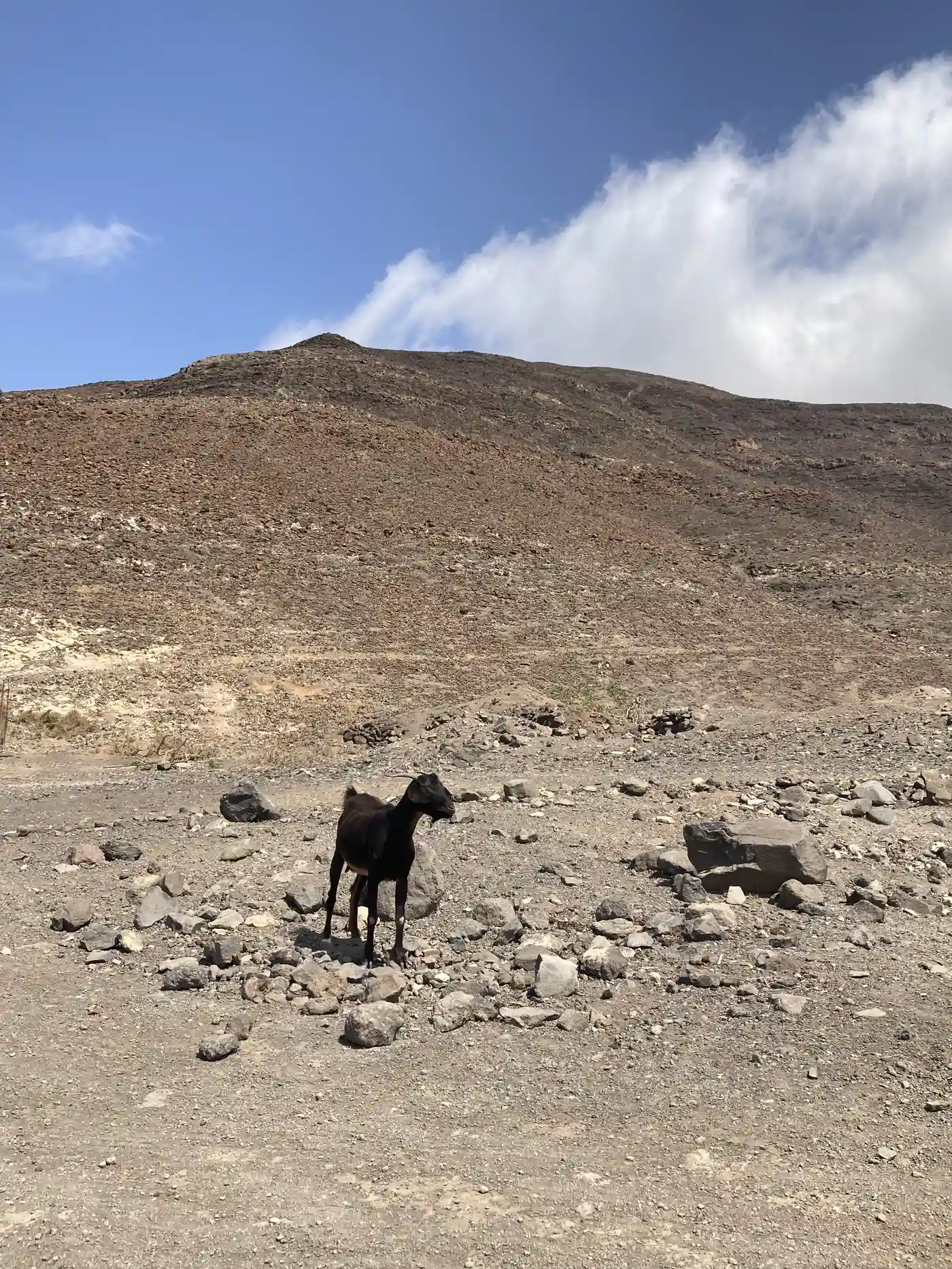
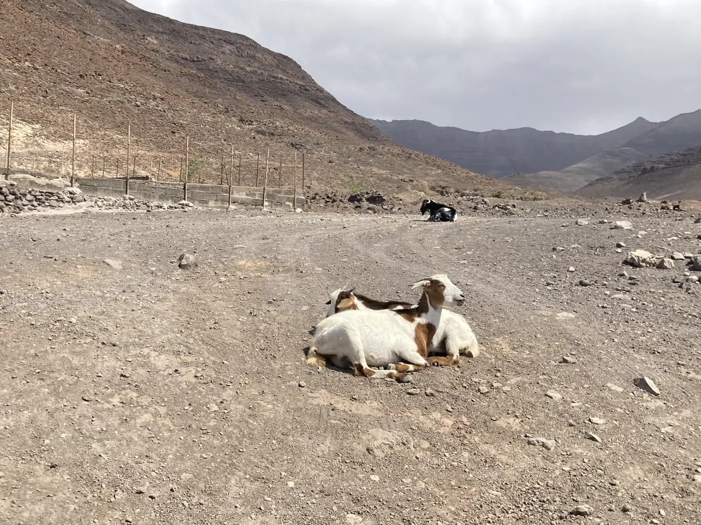
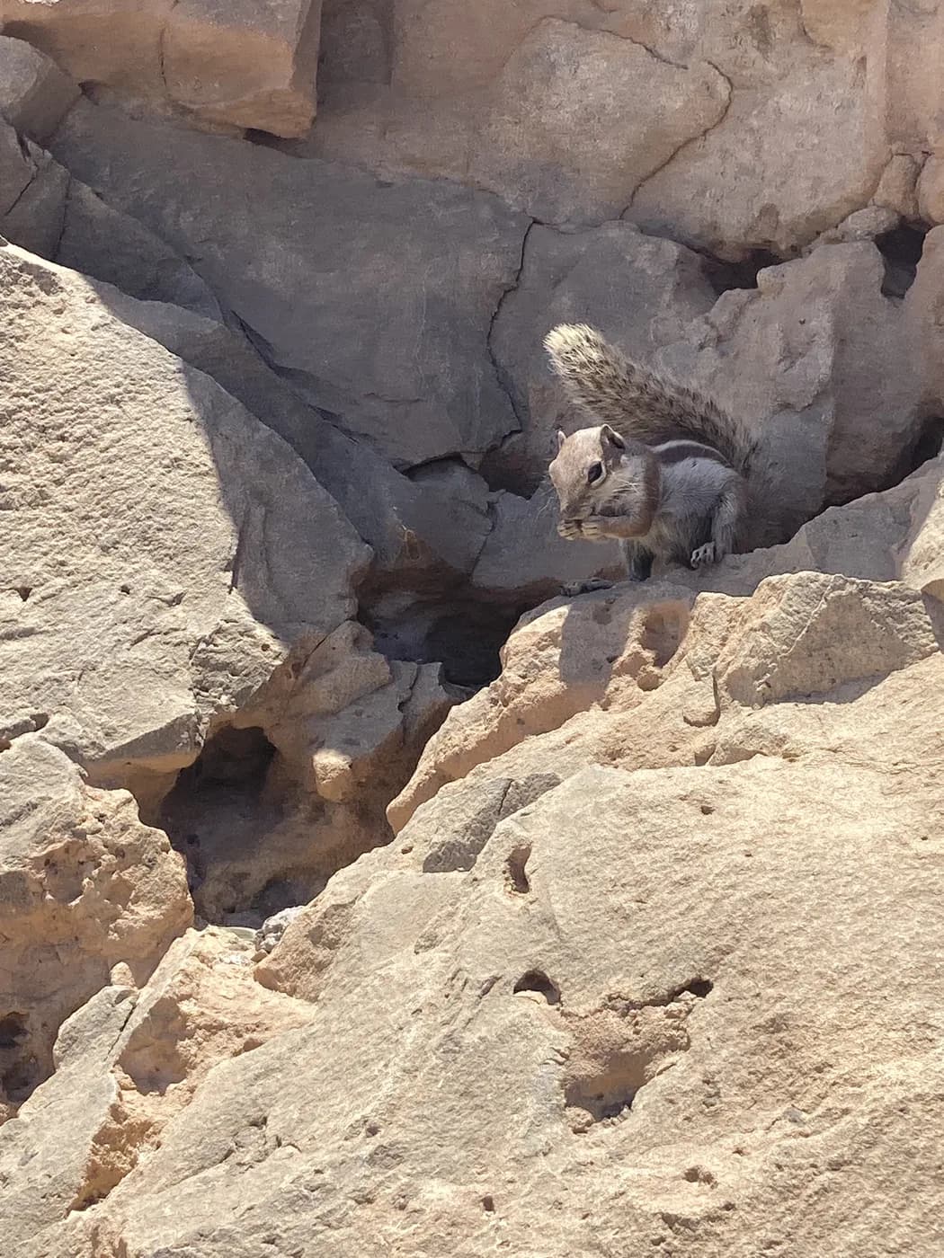
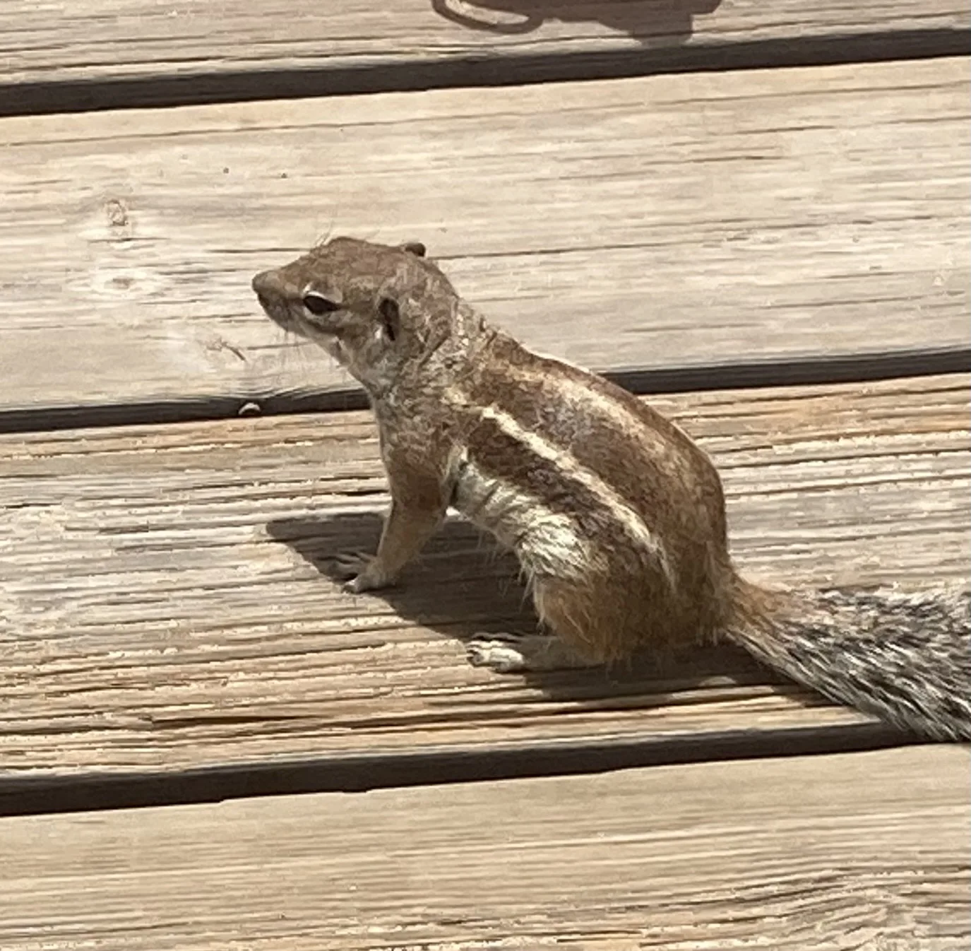
Fuerteventura's volcanic landscape is home to flora adapted to the dry climate: tabaibas, spurges and, in wetter spots like the Barranco de Las Peñitas, a few endemic palm trees. On the wildlife side, it's not unusual to spot small lizards endemic to the Canaries on sunny trails, along with several birds of prey, including the common buzzard, regularly seen over the ridges of the Jandía massif. Semi-wild goats and donkeys are also a frequent sight on inland trails, as are Barbary ground squirrels, introduced to the island in the 1960s and now widespread.
Barbary ground squirrels: an almost guaranteed sighting
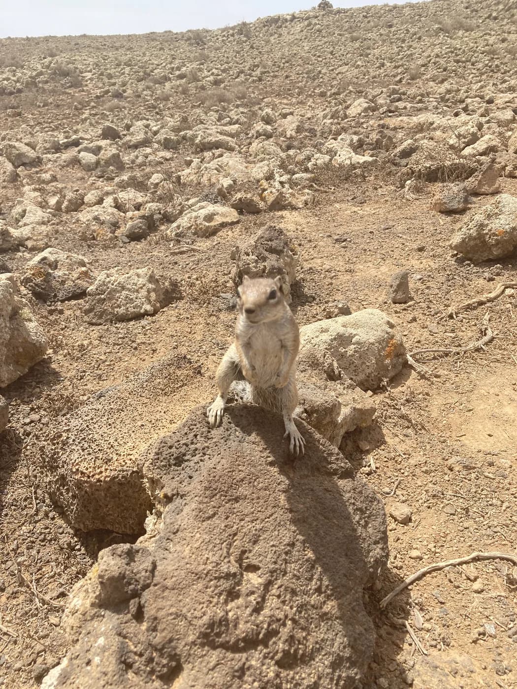
On most inland trails, it's not unusual to spot a dozen Barbary ground squirrels on a single hike: tucked into dry-stone walls, clinging to a rock face, or perched on a boulder by the path, they've become one of the island's most common wildlife encounters, far more so than wild goats or donkeys.
These striped little rodents, introduced to the island in 1965, have adapted so well to the volcanic terrain that they're now found across almost every hiking area, from the Barranco de los Molinos to the trails around Betancuria. Not particularly shy, they'll let you approach and watch from a few metres away, making them a real draw for families out walking — though it's best not to feed them, to avoid making their numbers grow further.
To plan the rest of your trip through the island's interior, head to our Canary Islands guide.
Frequently asked questions
What is the easiest hike in Fuerteventura?
Calderón Hondo near Lajares: a loop of about 2.5km and 1h15, accessible to families.
What is Fuerteventura's highest point?
Pico de la Zarza, on the Jandía peninsula, with a view over Cofete beach.
Do you need water to hike in Fuerteventura?
Yes, absolutely: the arid climate and sun exposure make hydration essential, even on short routes.
Are there guided hikes in Fuerteventura?
Yes, several local providers offer supervised outings, notably towards Betancuria and Jandía.
What's the best season for hiking in Fuerteventura?
Autumn, winter and spring, to avoid the intense summer heat.
Can you hike towards Cofete?
Yes, climbing Pico de la Zarza offers a sweeping view over Cofete beach, also reachable by car (4x4 recommended).